Property Record
1909 Unknown, , FL

Property Detail
1909 Unknown
26-36-27-00-00001.0-0000.00
ALL OF SECT LYING W OF I-95 R/W EXC NW 1/4 OF SE 1/4, ORB 5782 PG 4499, 7651 PG 296, 8751 PG 1177, 8899 PG 1632, 9104 PG 695, 9458 PG 309, 9769 PG 306 & PB 77 PG 37
Residentialacreage
BREVARD
PUD
Florida
A Areas with a 1% annual chance of flooding and a 26% chance of flooding over the life of a 30-year mortgage.
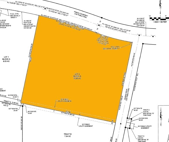
31.42 AC
2024
Brevard County
2025
Orlando
0641281011
Palm Bay-Melbourne-Titusville, FL
NEARBY LISTINGS FOR SALE OR LEASE
DEMOGRAPHICS near 1909 Unknown
1 mile
3 mile
5 mile
2024 Total Population
1,684
26,856
83,639
2029 Population
1,943
30,005
91,993
Pop Growth 2024-2029
+ 15.38%
+ 11.73%
+ 9.99%
Average Age
42
44
46
2024 Total Households
600
10,353
35,411
HH Growth 2024-2029
+ 15.17%
+ 11.27%
+ 9.62%
Median Household Inc
$124,666
$121,636
$85,183
Avg Household Size
2.70
2.60
2.30
2024 Avg HH Vehicles
2.00
2.00
2.00
Median Home Value
$459,946
$437,565
$352,366
Median Year Built
2010
2003
1996
Nearby Places
Map Layers
Map Styles
 Street
 Aerial
Transit
 Traffic
 Biking
Places
Listings with unknown addresses are not visible on the map
- Restaurants
- Banks
- Shops
- Fitness
- Groceries
PUBLIC TRANSPORTATION
AIRPORT
Melbourne Orlando International
Drive
Walk
Distance
Melbourne Orlando International
25 min
14.0 mi
Freight Ports
Port Canaveral
Drive
Walk
Distance
Port Canaveral
35 min
27.0 mi
Nearby Properties
Address
Land Use
TOTAL SIZE
Lot Size
Zoning
Address
Land Use
TOTAL SIZE
Lot Size
Zoning
453,736 SF
50 AC
PUD
Address
Land Use
TOTAL SIZE
Lot Size
Zoning
354,864 SF
26.76 AC
PIP
Address
Land Use
TOTAL SIZE
Lot Size
Zoning
406,986 SF
30.50 AC
PUD
Address
Land Use
TOTAL SIZE
Lot Size
Zoning
359,896 SF
13.29 AC
Address
Land Use
TOTAL SIZE
Lot Size
Zoning
386,565 SF
11.90 AC
Address
Land Use
TOTAL SIZE
Lot Size
Zoning
360,921 SF
85.76 AC
R2
Address
Land Use
TOTAL SIZE
Lot Size
Zoning
439,660 SF
38.05 AC
PUD
Address
Land Use
TOTAL SIZE
Lot Size
Zoning
224,695 SF
5.26 AC
Address
Land Use
TOTAL SIZE
Lot Size
Zoning
269,541 SF
17.80 AC
PUD
Address
Land Use
TOTAL SIZE
Lot Size
Zoning
134,562 SF
18.25 AC
BU1
Address
Land Use
TOTAL SIZE
Lot Size
Zoning
244,587 SF
8.49 AC
Address
Land Use
TOTAL SIZE
Lot Size
Zoning
125,958 SF
17.10 AC
Address
Land Use
TOTAL SIZE
Lot Size
Zoning
227,172 SF
26.78 AC
BU1
Address
Land Use
TOTAL SIZE
Lot Size
Zoning
114,906 SF
16.85 AC
PUD
Address
Land Use
TOTAL SIZE
Lot Size
Zoning
113,498 SF
37.57 AC
PUD
Address
Land Use
TOTAL SIZE
Lot Size
Zoning
96,110 SF
49.65 AC
INH
Address
Land Use
TOTAL SIZE
Lot Size
Zoning
213,915 SF
27.13 AC
BU1
Address
Land Use
TOTAL SIZE
Lot Size
Zoning
74,488 SF
10.52 AC
Address
Land Use
TOTAL SIZE
Lot Size
Zoning
102,972 SF
18 AC
R2(6)
Address
Land Use
TOTAL SIZE
Lot Size
Zoning
135,320 SF
16.54 AC
BU1
Address
Land Use
TOTAL SIZE
Lot Size
Zoning
162,629 SF
16.90 AC
Address
Land Use
TOTAL SIZE
Lot Size
Zoning
97,430 SF
51.89 AC
BU1
Address
Land Use
TOTAL SIZE
Lot Size
Zoning
69,560 SF
9 AC
PUD
Address
Land Use
TOTAL SIZE
Lot Size
Zoning
178,191 SF
18.19 AC
TU-2
Address
Land Use
TOTAL SIZE
Lot Size
Zoning
54,114 SF
11.48 AC
Address
Land Use
TOTAL SIZE
Lot Size
Zoning
120,600 SF
2.76 AC
Address
Land Use
TOTAL SIZE
Lot Size
Zoning
101,368 SF
8.90 AC
Address
Land Use
TOTAL SIZE
Lot Size
Zoning
82,494 SF
11.49 AC
BU1
Address
Land Use
TOTAL SIZE
Lot Size
Zoning
51,042 SF
1.70 AC
TU-2
Address
Land Use
TOTAL SIZE
Lot Size
Zoning
57,069 SF
5.89 AC
The World's #1 Commercial Real Estate Marketplace
Connect with us
© 2026 CoStar Group
The information above has been obtained from sources believed reliable. While we do not doubt its accuracy we have not verified it and make no guarantee, warranty or representation about it. It is your responsibility to independently confirm its accuracy and completeness. Any projections, opinions, assumptions, or estimates used are for example only and do not represent the current or future performance of the property. The value of this transaction to you depends on tax and other factors which should be evaluated by your tax, financial, and legal advisors. You and your advisors should conduct a careful, independent investigation of the property to determine to your satisfaction the suitability of the property for your needs.